 vesseltracker.com
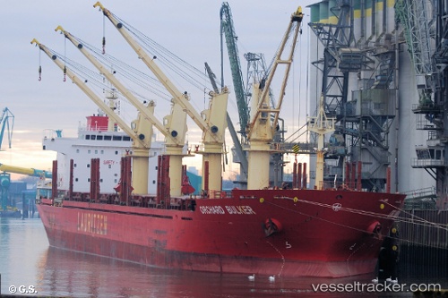
Vessel 'CLIPPER ALEXANDRIA' IMO: 9528017, MMSI: 538008659
UTC, -8.57594, -3.21790, course: 142, speed: 9.9
UTC, -8.90514, -2.97866, course: 139, speed: 10.1
2026-02-13 17:42:42 UTC, -9.16500, -2.77167, course: -1, speed: 10
Live AIS position:
UTC. 397 nm NE of Levelwood),
updated 2026-02-13 17:42:42 UTC.
Find the position of the vessel 'CLIPPER ALEXANDRIA' on the map. The latter are known coordinates and path.
marine traffic ship tracker show on live map
The current position of vessel 'CLIPPER ALEXANDRIA' is -9.16500 lat / -2.77167 lng. Updated: 2026-02-13 17:42:42 UTCDetails:
Last coordinates of the vessel:
UTC, -8.44846, -3.32014, course: 139, speed: 9.7UTC, -8.57594, -3.21790, course: 142, speed: 9.9
UTC, -8.90514, -2.97866, course: 139, speed: 10.1
2026-02-13 17:42:42 UTC, -9.16500, -2.77167, course: -1, speed: 10